GeoGIS/Features
Every feature, grouped by the job it does
Everything on this page already works. Request a demo and our team will show it to you in an online meeting, a video call or in person.
Maps & imagery
The base for everything else: sharp aerial imagery on a map that opens quickly.
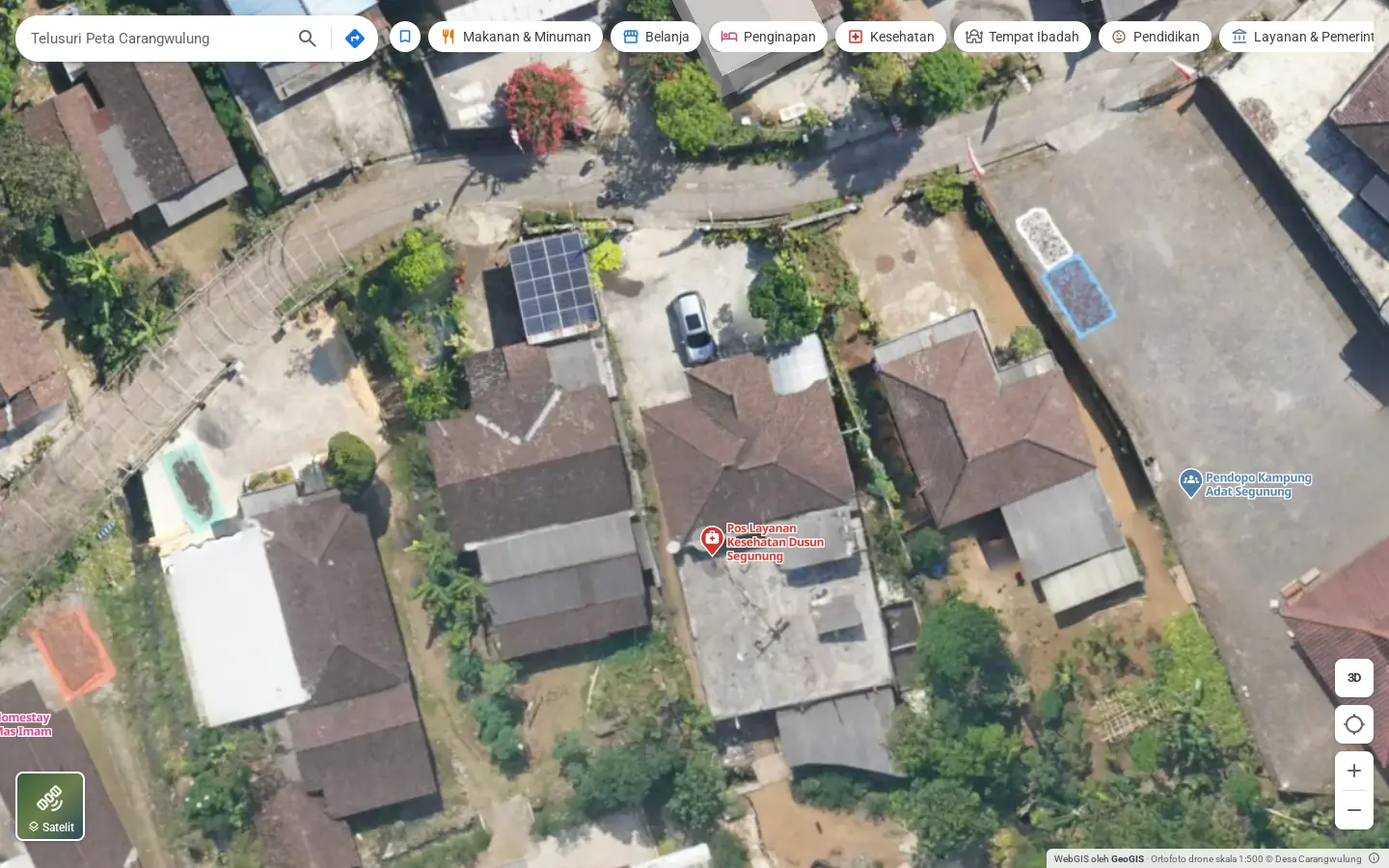
- 1:500 drone orthophoto4.7 cm per pixel, zoomable to level 21.
- Basemap and satelliteSwitch between a street map and satellite imagery in one tap.
- Jump to the whole surveyOne button to fit the full extent of the orthophoto.
- Light on dataThe browser only fetches the pieces of the orthophoto that are on screen.
- Scale and creditsScale, resolution and the data owner are printed on the map.
- Click anywhereGet the coordinates, the elevation above sea level and directions to that spot.
Terrain & analysis
Layers derived from the surface model (DSM) and the terrain model (DTM).
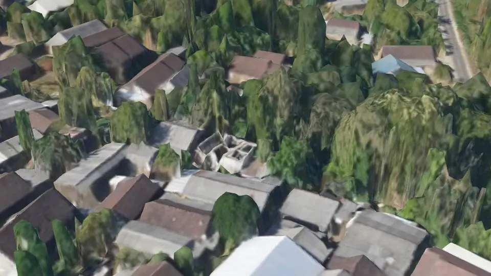
- 3D terrainTilt the map to see the shape of hills and valleys.
- HillshadeHill shading that makes the terrain readable on a flat map.
- Contour linesGenerated from the elevation data.
- SlopeFive classes from flat to very steep, with a note on slopes above 25% near homes or roads.
- ElevationA colour ramp of height in metres above sea level.
- Object heightHeight of buildings and trees from DSM minus DTM, from 1.5 m up.
Want to try these layers on real data? There's a layer explorer on the home page.
3D view
The village as a 3D model and a point cloud you open in the browser.
- 3D modelA photogrammetry model of the full survey area.
- Point cloudShow it in true colour (RGB) or classified as ground, vegetation and buildings.
- Measure distanceHorizontal and slope distance between two points on the model.
- Measure area and heightClick a few points for an area, or two points for a height difference.
- Quick viewpointsTop view, an orbit/tilt mode and a button to frame the whole village.
- Data saverA low-quality setting for slow connections.
Places directory
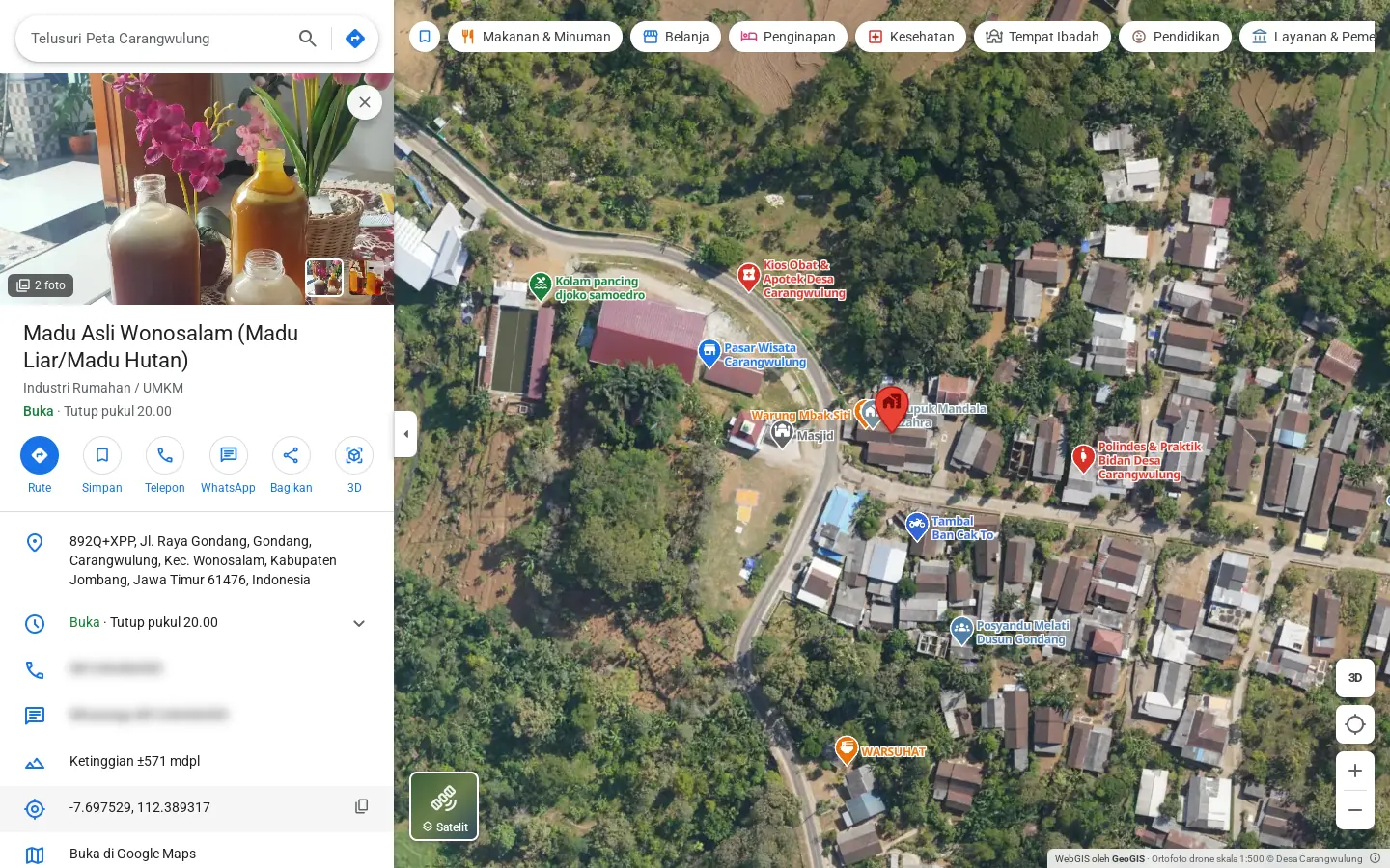
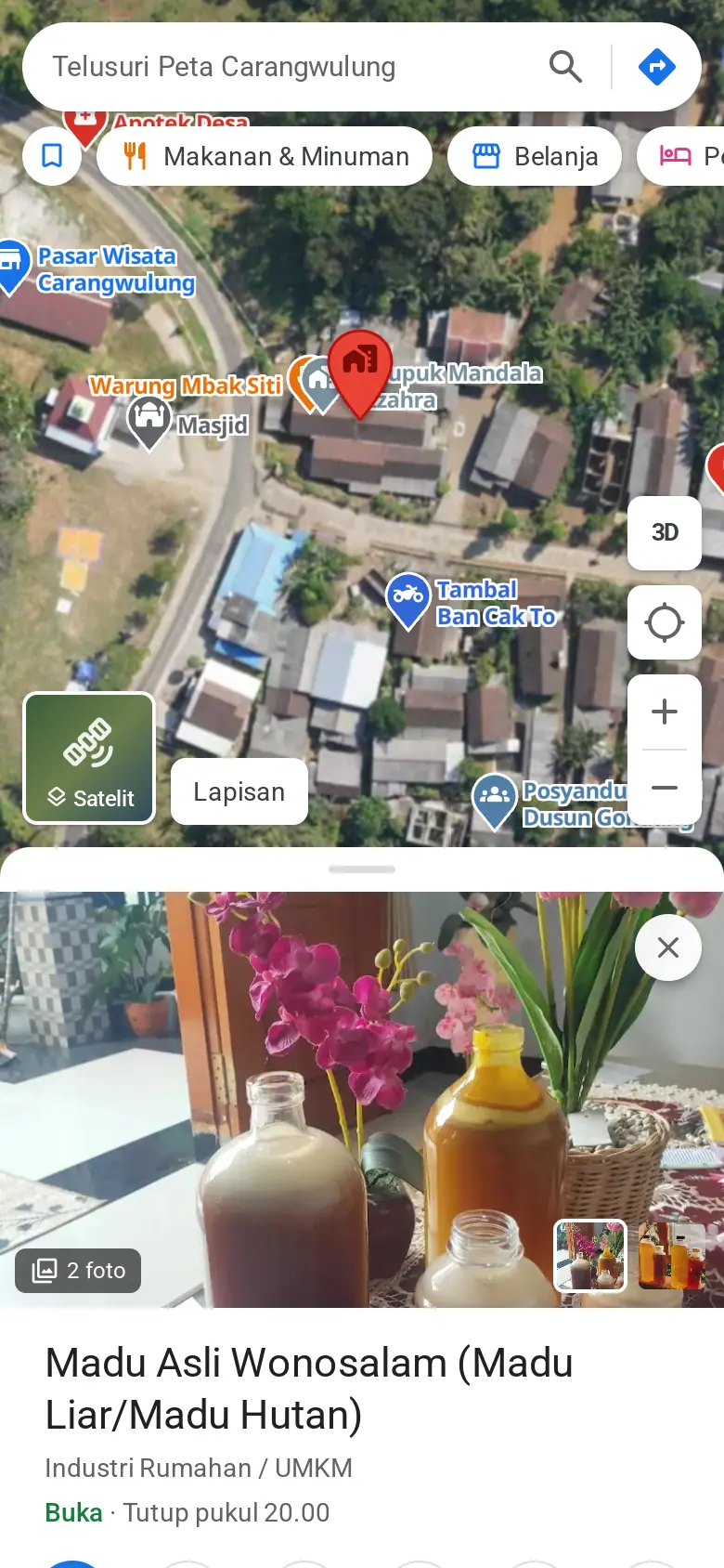
Warungs, schools, health posts, homestays and sights, with what people need to know before they go.
- 10 category groupsFood, shopping, lodging, health, worship, education, services, transport, sights and more.
- Search with suggestionsSearch by name, category or address, or paste coordinates. Recent searches are remembered.
- Opening hours with live status"Open", "Closes at 5 pm" or "Open 24 hours", worked out from the weekly schedule.
- Everyday buttonsDirections, call, WhatsApp, website, copy address and copy coordinates.
- Save on this deviceBookmark places without creating an account.
- Elevation for every placeThe place panel shows its height above sea level from the terrain data.
360° photos & media
So people can see a place before they visit.
- 360° photo viewerOpen it from the place panel and drag to look around.
- Photo gallerySwipe between photos or use the arrow keys.
- Short videosClips of up to 2 minutes to show what a warung or a sight feels like.
- Cover photoStaff choose which photo shows first.
Directions
From where you are, or any point, to where you're going.
- Four modesCar, motorbike, bicycle and walking.
- Alternative routesCompare distance and travel time across options.
- Turn-by-turn stepsStep-by-step instructions, in Indonesian.
- Pick a start pointUse your location, pick on the map, or swap start and destination.
- Continue in Google MapsOne button opens the same route in Google Maps.
Admin panel
For the village staff and tourism managers who keep the map up to date.
- Admins and editorsAdmins manage everything, editors only manage places.
- Add and edit placesName, category, address, phone, WhatsApp, website, description and opening hours.
- Draft and publishPlaces that aren't ready stay off the public map.
- Location from anywhereCoordinates, a Google Maps link, the phone's GPS, or a click on the basemap, satellite or orthophoto.
- Photo and video uploadDrag and drop. Photos are resized and videos converted to 720p in the browser before upload.
- Categories and iconsColoured groups, an icon per category and a mapping to Google Maps place types.
- CSV import and exportUpload a list of places from a spreadsheet. There's a template, and rows that fail get reported.
- Change historyA record of who changed what, and when.
Sharing & access
A map that easily reaches the people who need it.
- Nothing to installRuns in the browser on phones and computers.
- Links to a placeEvery place has its own link that opens its panel directly.
- Links to a map viewShare a view at exactly the same zoom and centre.
- Native share on phonesSend a place by WhatsApp or any app through the phone's share sheet.
Want to see your area from above?
Fill in a short form and send it on WhatsApp. The GeoGIS team will then contact you.