
What's on this map
The base is a 1:500 drone orthophoto at 4.7 cm per pixel, zoomable to level 21. On top of it sits the terrain data: hillshade, contours, slope, elevation, and the height of buildings and trees.
The 3D view holds a 3D model and point cloud of the village, with tools to measure distance, area and height. The directory lists places with photos, opening hours and contacts, plus directions by car, motorbike, bicycle and on foot.
A sample directory
The places in this directory are sample data for demonstration, not official village records. Counts per group on 27 October 2026:
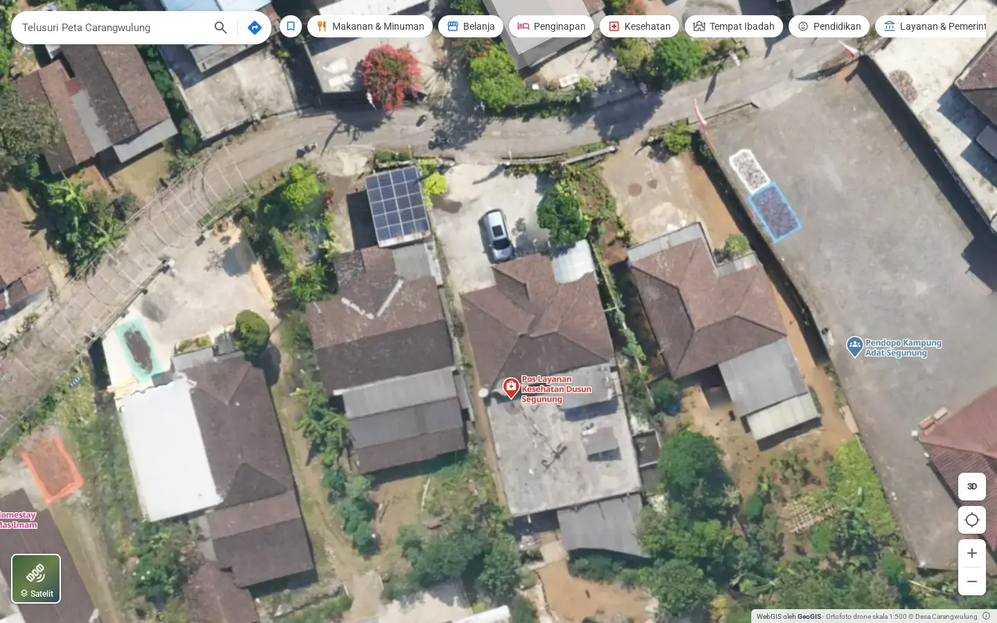
How detailed the orthophoto is
At zoom 20 you can tell apart the solar panels on a roof, a car in the yard and a water tank. Satellite imagery of the same spot stops at zoom 18.
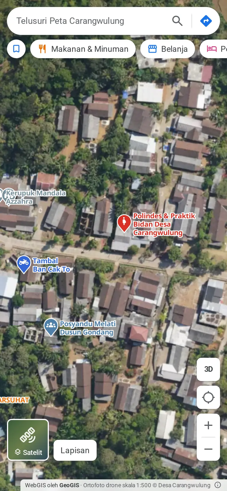
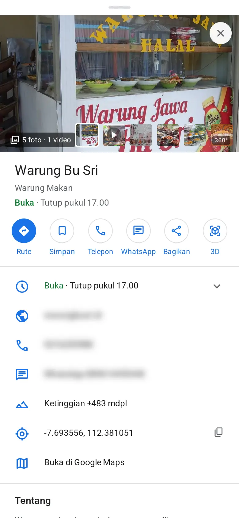
On a phone
The side panel becomes a sheet you pull up from the bottom. Directions, WhatsApp and share stay within thumb's reach. Left: the map at zoom 18 over the most built-up part of the village. Right: Warung Bu Sri with its panel fully open (sample data).
Map layers
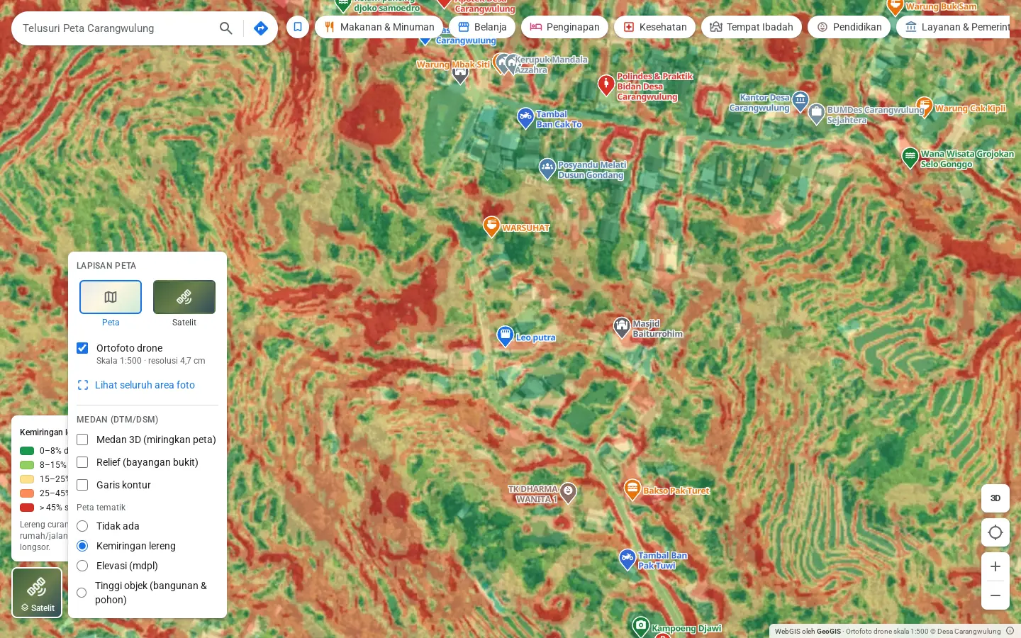
The Layers menu holds the basemap or satellite view, the drone orthophoto, terrain data (3D terrain, relief, contours) and thematic maps: slope, elevation and object height. Here the menu is open with the slope map shown over the houses.
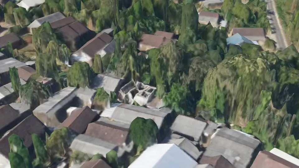
The 3D model up close
From zoom 21 up, the camera tilts far enough to show house walls and tree crowns from the side.
What you can see in the demo
Ask us to show you these during the demo:
- The Slope map (Kemiringan lereng) from the Layers menu, zoomed into the houses along the valley edge.
- Directions (Rute) to a place, by motorbike or on foot.
- The 3D view with the point cloud, and a height measurement between a road and a treetop.
- The coordinates and elevation of any spot on the map.
Orthophoto, terrain data and 3D model © Desa Carangwulung. The demo interface is in Indonesian.